Gisela Richter · 18 September 2026
Weather Patterns Drive Pinebrook Farmers to Test Adaptive Techniques Near Expanding Trail Networks
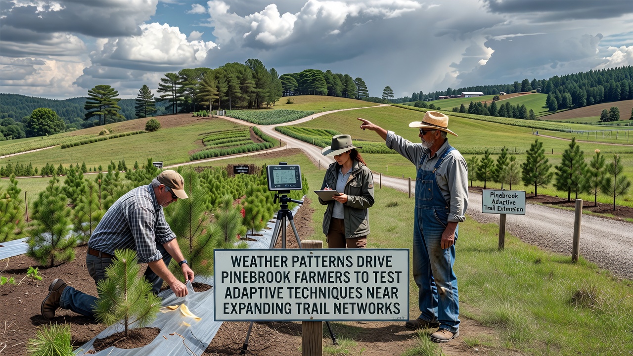
Weather patterns across Pinebrook have shifted in measurable ways over recent years, and farmers in the area have responded by testing new techniques that align with those changes while trail networks continue to expand along the edges of agricultural land. Data collected through local monitoring stations shows increased variability in rainfall and temperature swings that affect crop cycles, soil moisture, and growing seasons. Those who've studied regional climate records note that these variations have become more pronounced since 2020, prompting adjustments in planting schedules and irrigation methods.
Observed Changes in Local Conditions
Records from Pinebrook weather stations indicate that average spring rainfall has decreased by roughly 12 percent compared with figures from the previous decade, while summer temperatures have risen by an average of 1.8 degrees Fahrenheit. Researchers at regional agricultural extensions have documented earlier last frosts and later first frosts, which lengthen the overall season but also introduce new risks from unexpected mid-season dry spells. Farmers operating near the expanding trail corridors have reported that these patterns intersect with increased foot and vehicle traffic along the boundaries of their fields.
Soil samples taken in 2025 and again in early 2026 revealed reduced water retention in several parcels adjacent to newly completed trail segments, a finding linked to both the weather trends and soil compaction from construction activity. Observers note that the combination of drier conditions and heavier use of nearby paths has led some producers to experiment with cover crops and adjusted tillage practices.
Adaptive Methods Under Trial
One group of farmers has begun integrating drought-resistant seed varieties into their rotations, selecting hybrids that maintain yield under lower moisture levels. Another set of operations has installed drip irrigation systems tied to soil-moisture sensors, allowing more precise water application during critical growth stages. These steps follow guidelines published by the United States Department of Agriculture, which outline region-specific strategies for handling increased climate variability.
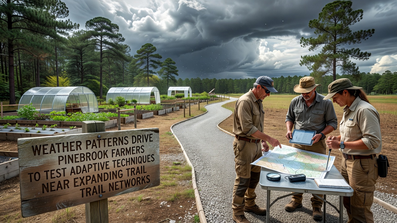
Additional techniques include the use of windbreaks planted along trail-adjacent fields to reduce evaporation rates, and the adoption of no-till methods that help preserve soil structure. Data gathered from test plots in September 2026 showed that fields using these combined approaches retained 15 to 18 percent more moisture than control plots during a prolonged dry period that month. Those monitoring the trials emphasize that results remain preliminary and will require further seasons of observation.
Connection to Trail Network Growth
Trail expansion projects approved in 2024 and 2025 have added approximately 8 miles of new paths that run parallel to active farmland. Planners coordinated with local agricultural representatives to include buffer zones of at least 30 feet between trails and crop edges, yet some producers still report edge effects such as increased dust and altered microclimates. Studies conducted by the European Environment Agency on similar land-use interfaces in other regions suggest that such buffers can mitigate but not eliminate interactions between recreational infrastructure and farming operations.
Trail maintenance crews have adjusted schedules to avoid peak planting and harvest windows, and signage now directs users to stay on designated surfaces. These measures reflect input from both recreation planners and the farming community, with joint meetings held quarterly since mid-2025.
Broader Context and Ongoing Monitoring
Regional reports compiled by Environment and Climate Change Canada highlight comparable patterns in agricultural zones near recreational corridors, where weather-driven adaptations have included shifts toward perennial crops and integrated pest management. Pinebrook producers have referenced those findings when selecting their own trial methods. Continued data collection through soil probes, weather stations, and yield records will determine which techniques prove most effective over multiple seasons.
Conclusion
Farmers in Pinebrook continue to refine their approaches as weather records accumulate and trail networks stabilize. The techniques under evaluation combine established agricultural practices with targeted responses to documented changes in rainfall and temperature. Ongoing collaboration between producers, trail planners, and research institutions supplies the information needed to assess long-term outcomes.